Climate & Environment
Magnitude 7 quake strikes Tibet near Nagqu; impacts remain unclear
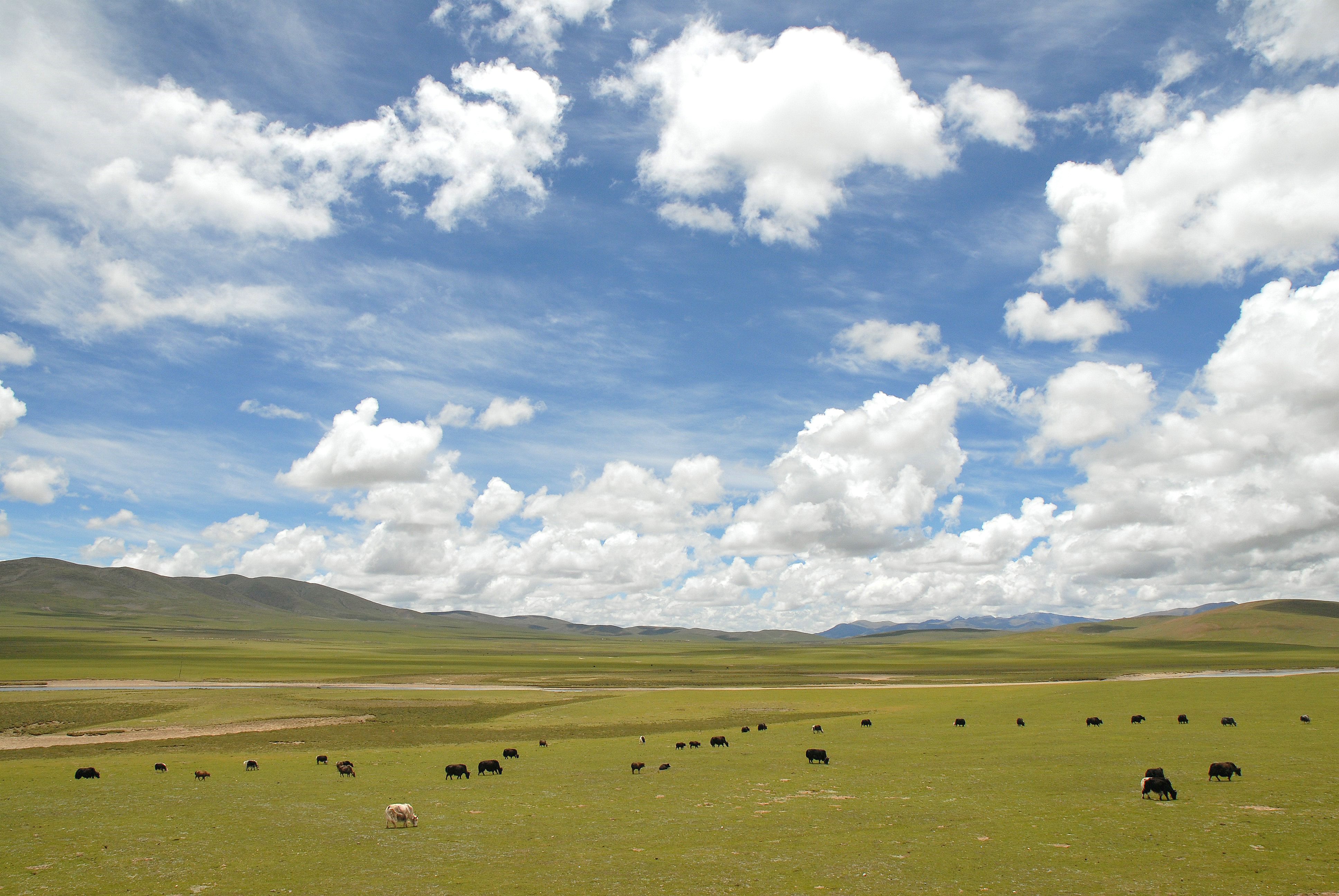
The quake struck a sparsely populated, high-altitude part of northern Tibet. USGS impact alerts are model estimates, not a confirmed toll or damage survey.
Executive summary
- USGS reviewed the event at magnitude 7.0: The U.S. Geological Survey's event record places the quake 191 kilometers east-northeast of Nagqu at a depth of 18 kilometers. China's earthquake network, as reported by Reuters, placed it at 10 kilometers; depth estimates differ between agencies.[1][2]
- A separate magnitude 5.2 quake followed 39 minutes later: The USGS catalog records a second event about 11 kilometers from the first. It is a separate catalog entry, and the agency has not classified it here as an aftershock.[3]
- Early accounts reported no confirmed damage or casualties: The Associated Press reported shortly after the quake that there were no immediate reports of damage or casualties. That is an early reporting snapshot, not a final assessment from the remote, high-altitude area.[4]
- USGS models flagged possible impacts, not a confirmed toll: USGS's PAGER system issued an orange economic-loss alert and a yellow shaking-related fatality alert. The agency describes possible significant damage and casualties; these are model-based estimates, not observed losses or a reported death count.[5]
The USGS earthquake catalog records a magnitude 7.0 event at 14:33 UTC on Oct. 22, equivalent to 10:33 p.m. local time. It locates the epicenter 191 kilometers east-northeast of Nagqu in northern Tibet and lists a depth of 18 kilometers. The agency's reviewed event record had been updated at 17:21 UTC.[1]
Depth estimates vary. Reuters, citing China's China Earthquake Networks Center, reported a depth of 10 kilometers. The USGS lists 18 kilometers. Both agencies place the event in the Nagqu area, but their public estimates do not match on depth.[1][2]
The USGS catalog also lists a separate magnitude 5.2 earthquake at 15:12 UTC, 39 minutes after the magnitude 7.0 event. It places the second event about 11 kilometers from the first. The catalog provides a separate event record rather than attributing it as an aftershock.[3]
The Associated Press said there were no immediate reports of damage or casualties in its first account, published at 16:07 UTC. AP described the epicenter as a sparsely populated, high-altitude area. That early report is not a final damage survey or casualty assessment.[4]
USGS's PAGER loss-estimation system assigned an orange alert for economic losses and a yellow alert for shaking-related fatalities. Its accompanying assessment says significant damage is likely and some casualties are possible. Those are model outputs based on shaking and exposure data; they do not confirm that damage or deaths occurred. No official field assessment or confirmed casualty figure was available in the reports reviewed for this article.[5][4]
The USGS says PAGER's loss estimates are automatically generated, account for structural-damage losses, and carry uncertainty. ShakeMap estimates the distribution of shaking; PAGER estimates potential human and economic impacts to guide response. Neither substitutes for local surveys, and the current USGS event and impact records may change as more observations arrive.[1][5]